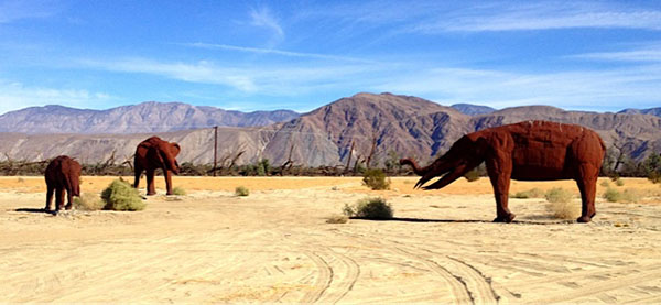
Elephants in the room? Sculptures on Galleta Meadows Estate, in Borrego Springs. Photo taken by the author.
Almost one year ago, I found myself deposited in the middle of one small battleground in the desert Southwest’s increasingly technical (and increasingly ominous) water wars: the small town of Borrego Springs, California. The problem here is deceptively simple. Borrego suffers from an impending water crisis, with some studies suggesting that the town will run out of viable groundwater within a generation. Despite spending 30 years and over $5 million on scientific and policy solutions, Borrego residents continue to face rapidly increasing water use, escalating environmental effects, and continued controversy over how to understand and respond to the disaster as it unfolds. As one community member explains, “The problem isn’t that someday we’ll turn on the tap, and the water won’t work. The problem is that, long before that, our town will cease to exist. Our way of life will be gone.”
My connection to Borrego began when I was invited to join the first wave of volunteers for an interdisciplinary research team assembled through UC Irvine’s Center for Environmental Biology. This team, comprised of biologists, engineers, and social scientists, is attempting to help the community solve a decades-long pile up of poor planning, social and economic conflict, misapplied science, and inappropriate local technology. The goal, in other words, is to fix Borrego’s water problem with the right kind of science, and to hold that science responsible to the publics it purports to serve.
But, what is the right kind of science for something as complex as a 50-year water crisis? Since that initial meeting, I’ve functioned as both a contributing member of the larger team, and an ethnographic fieldworker studying how that team works. Here, I’m interested in many of the same issues raised by Beth Reddy in her post on anthropology in the anthropocene. While large-scale, long-term ecological disasters like water scarcity and climate change draw together human and non-human phenomena in unexpected ways, they also spark interest in innovating interdisciplinary research and systems thinking. They are a new kind of problem, the logic goes, requiring a new kind of integrated science and a host of new scientific models. Of course, the processes by which these new models are constructed are inherently political. Something as simple as including or excluding certain people, animals, plants, and other living or non-living actors as “stakeholders” in the local water cycle is not simply a matter of inclusion in an explanatory model; it is a recognition of that actor as an ecological, biological, and political subject.
How do we study and render these multiplicitous social, political, natural, and scientific ecologies? It’s a fascinating question. The prospect of one grand model tempts the entire team, myself included. Why can’t we design an iterative model that integrates social science and physical science data alongside one another, places expertise from scientists and community members on equal footing, and still has enough dynamism to contend with the shifting complexities, contingencies, and partialities of real daily life? Dream big, science!

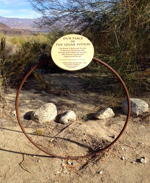
“Our Place in the Solar System,” a surprising nature walk through both space and the desert in Anza-Borrego Desert State Park. Photo taken by the author.
I’ve had a few conversations (and shared literature reviews) with a hydrologist colleague, where we’ve tried to pinpoint just what a truly integrated physical science-social science approach to groundwater sustainability would look like. As he explains it, although recent sustainability frameworks for groundwater management do presume some kind of integration of physical and social science, that integration (and the social science itself) tend to remain black boxed. For example, Pandey et al. propose a groundwater sustainability infrastructure index (and accompanying graphic) that includes five dimensions: institutional, environmental, economic, social, and mutual trust. Sustainability here is “a multi-dimensional concept…and is not a purely scientific concept but rather a perspective that can frame scientific analysis” (2011). Sounds anthropology-friendly. However, as my colleague astutely noted, the index is more diagnostic than anything else, and the focus is on outreach, education, and the building of knowledge networks rather than social science proper. In his own words, “everyone says this [integrating social science] is something we should do, but no one really knows how to do it!”
Anthropologists, for our part, struggle with a similar problem when it comes to sustainability and environmental research initiatives. In the context of a large interdisciplinary team, it’s difficult to move ourselves out of the realm of science education, knowledge network building, barriers to social inclusion, or culture brokering. These roles are valuable, certainly, but they also (and often out of necessity) tend to treat the social as the tricky context within which science tries to do its job. Some of us may participate in projects with a coupled natural and humans systems model, or work with teams that emphasize a political or historical ecology perspective or adaptive experimentation with human and non-human subjects. These are all promising collaborative experiments. But, even if we start from an assumption of inter- or transdisciplinarity, how do we make sure we’re doing more than just nudging the physical scientists with the classic anthropologist critique “but where are the people?”

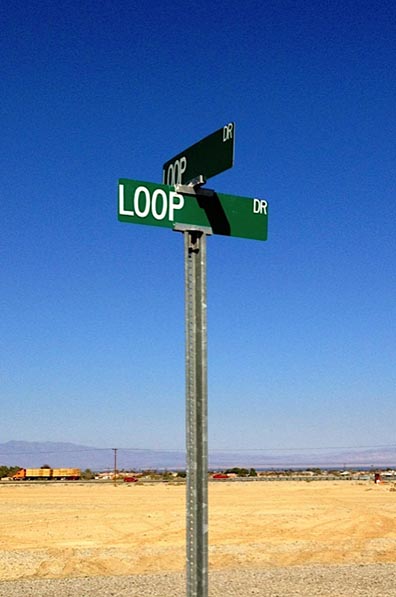
At the corner of Loop and Loop, in Salton City, California. Photo taken by the author.
My own small intervention takes the form of a proposed “ecology mapping” activity, which draws on methods from Spatially Integrated Social Science (or SISS), as well as familiar ethnographic methods like collaboratively-compiled story maps and walking tours recorded via GPS points. Working with scientists and community members, my goal is to use Geographical Information Systems (GIS) software to create collaborative, interactive maps of the Borrego Springs area that allow for incorporation of multiple “layers” of spatial data. These data layers can then be manipulated within the map to compare different points or change over time, and can also be overlaid and compared with other formalized maps of the area, like USGS topographical maps and water data collection sites. My hope is that these maps will serve as a bridging activity between my own work and that of the physical scientists and community leaders. While I’d like to use this method as an opportunity to make a broader point about comparing and collaborating with different forms of environmental expertise–collapsing and expanding scales of analysis that are normally assumed to be fixed–I’ll be perfectly satisfied if I’m able to generate productive conversation between groups.
Like Beth, it’s been my experience that earth systems scientists genuinely want the help of qualitative social scientists in dealing with increasingly complex ecological problems. I’ve been lucky to have a number of honest conversations with my physical scientist colleagues, who are interested in incorporating our perspectives and methods at the level of data collection and analysis, not simply as community liaisons or outside experts after the fact. My own fieldwork, in part, will consider whether this kind of collaboration is even possible, and what sort of multi-scalar system would result from an integrated social science-physical science perspective on the earth. How and when can our richly ethnographic, intensely local, and purposefully contingent anthropological knowledge articulate as valuable expertise in realms dominated by aggregated data and broadly-scaled systems thinking?
